Analysing a landscape
What is meant by landscape analysis ?
Once landscape units have been described, the next step is to formulate hypothesis about the way land is used. It is particularly important to find out the relations between the zones previsouly defined.
Thanks to knwoledge from other disciplines related to agronomy (sociology, geography, ecology...) it is possible to justify at least partly the choices made in land use. Sometimes choices of land use are obvious. Sometimes, only hypothesis can try ty explain the observations.
Zoning will serve to explain why (and how) agriculture has been managed in diversified ways according to the different zones within the target area. Agricultural activies are indeed likely to be specialized within each zone.
Landscape analysis requires knowledge from a wide range of disciplines
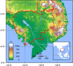
Information on geomorphology, topography, hydrography and soils can be found and related to landscape observations through a map-based analysis. |
Exploratory surveys on the history of technical, ecological and socio-economic changes in the target area can be lead through informal interviews with key informants.


